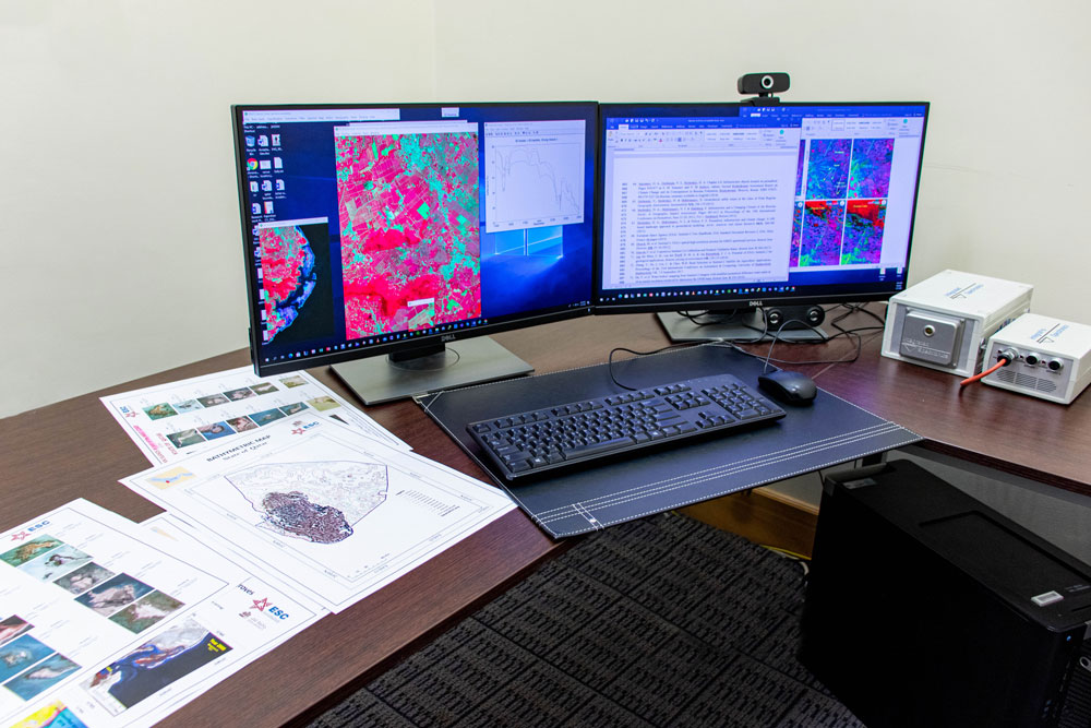
The Geo-spatial technique offers a unique perspective of the Earth and used for monitoring the changes in the Earth’s environment, its resources and human impact upon it. The Remote sensing and GIS laboratory in the Environmental Science Center encompasses geo-spatial techniques and tools for acquisition, processing, management, analysis, and presentation of geospatial data to the study of environmental monitoring, resource analysis and modeling in the interdisciplinary application fields mainly from the Environmental Science, Coastal and Marine Science, Earth System Science, and Soil and Agricultural Science. The laboratory has workstations with major Geo-spatial software’s including the ERDAS Imagine, ENVI and ArcGIS for digital image processing of satellite data and analysis other spatial data. It provides data and facilities to graduate students and researchers from the Qatar University and the other universities and training center of the Qatar. The laboratory has a very good A0 printing facility.
The Remote sensing and GIS laboratory maintains satellite data of different spectral and spatial resolutions and aerial images since 1973 and allows doing different image classification, transformation, filtering and spectral analyses using ERDAS and ENVI image processing software’s. It has various resource maps, including the geomorphology, soil, geology, land use, etc. of the parts of Qatar and allows to prepare various thematic and derived maps in the GIS environment. Especially, the laboratory supports to carry out research on the Gulf chlorophyll, Coastal mangroves, Sabkhas, Geological formations, Soils, Vegetation, Agriculture, Coastal erosion and sediment distribution of the parts of the State of Qatar in the application of Geo-spatial techniques. The laboratory is linked to the Center for Geographic Information Systems (CGIS), Ministry of Municipality and Environment (MME), and allows accessing the permitted resources of CGIS.